 Store
Store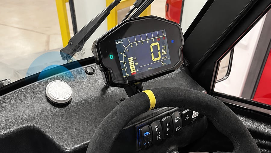
Nowadays, modern business operations are becoming increasingly dynamic. For enterprises, especially those operating across vast facilities, static logs are no longer enough to handle real-time changes. Manual records usually lead to inaccurate data and operational blind spots. To bridge such gap, IoT systems are gradually being deployed to automate asset visibility and streamline whole operations.
Challenge
In Canada, the manager of a large golf course has struggled with an operational problem. The course spans hundreds of acres and has an LSV (Low-Speed Vehicle) fleet to serve players and staff. Traditionally, the fleet management relied on a designated employee to stay at the checkpoint to record vehicle check-outs and check-ins manually. As the course grew popular increasingly, more and more LSVs have been put into use. During peaking times, intense vehicle throughput would create severe administrative strain, leading to frequent recording errors.
Moreover, vehicle usage was highly dynamic, this means many different drivers would drive one LSV at different periods throughout the day. It was an impossible mission for manual recordings to update accordingly in real time. Also, across the vast place, manager had no efficient way to track vehicle locations, resulting in inefficient fleet allocation and possibly asset blind spots.
Solution
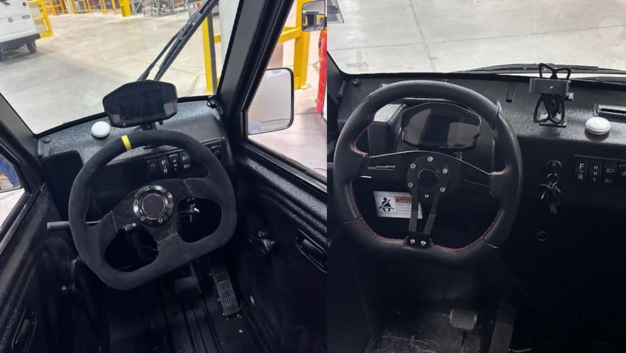
Facing such operational problems, the business has adopted one smart BLE fleet tracking solution. This solution equips one Bluetooth navigator on the instrument panel of each vehicle. Through detailed configuration, the navigator will be uniquely paired with specific vehicle via a telematics system. This means, the anchor could be identified and named by the platform as “vehicle 001”, identical to the actual real vehicle number.
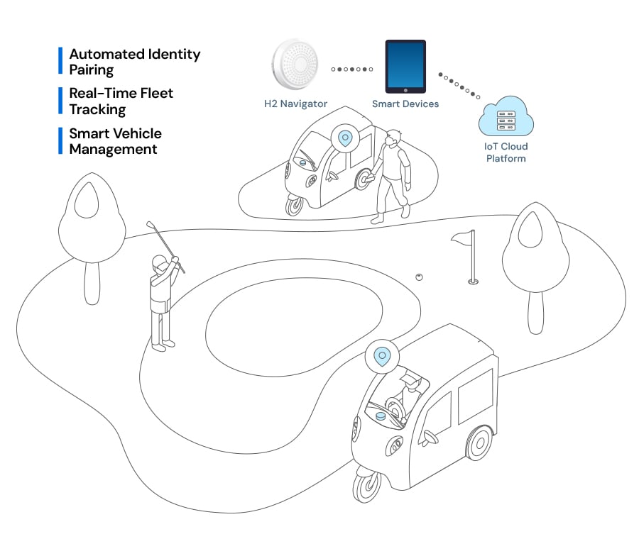
As drivers enter the vehicle, their smart devices (running the specific management App) could scan the vehicle’s BLE navigator. In this way, the application automatically establishes an instant driver-vehicle pairing. Leveraging GPS signals from smart devices, the platform could get clear information of the vehicle’s real-time location. Under this solution, the whole fleet management has been transformed from a manual logbook into a clearly virtual map. Not only does it free the staff member from fixed checkpoint duty, but also eliminates human recordings. Moreover, managers could monitor fleet location and distribution without efforts.
Featured Products
H2 Navigator is a BLE wayfinding anchor designed for indoor tracking solutions. Equipped with a 1000mAh battery capacity, H2 could reach a durable 5-year lifespan. With the white color and inconspicuous circular case, H2 can be ideally realize the indoor wayfinding.